
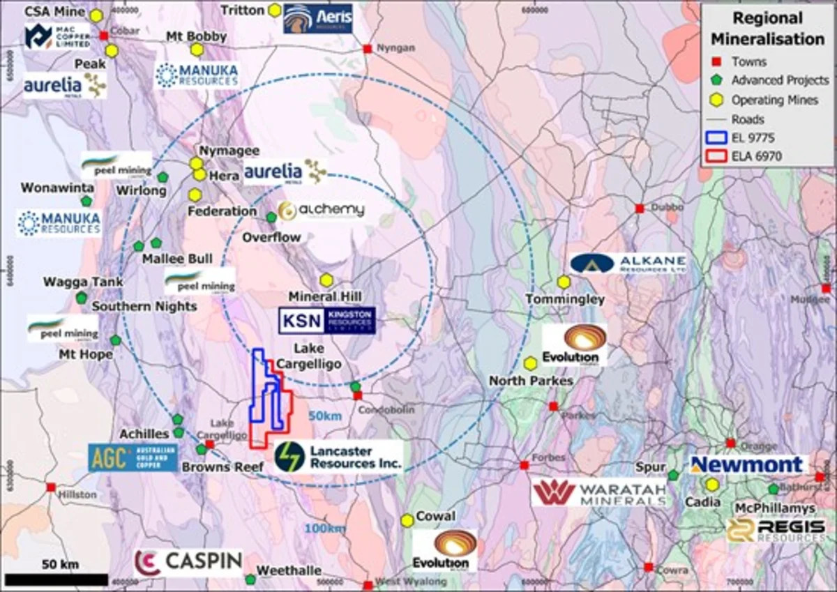
Vancouver, British Columbia--(Newsfile Corp. - July 7, 2026) - Lancaster Resources Inc. (CSE: LCR) (OTC Pink: LANRF) (FSE: 6UF0) ("Lancaster" or the "Company"), as previously announced, has completed the additional land acquisition at Lake Cargelligo. The Exploration Licence, EL9880, added an additional ~33,400ha of land base immediately adjacent to the original Lake Cargelligo property. The total combined claims are ~62,300ha.
2026 Exploration Program Update
Lancaster is also continuing to advance exploration at both the Lake Cargelligo Gold & Silver project in Australia and the Lac Iris polymetallic project in Quebec.
Since acquiring the Lake Cargelligo project in 2025, Lancaster has rapidly advanced its geological understanding through technical studies, field reconnaissance, geochemical sampling, property expansion, and geophysical targeting initiatives.
The Project has evolved from an initial 28,768-hectare Exploration License in spring 2025 into a district-scale land package covering approximately 62,300 hectares, positioning Lancaster to explore multiple gold-silver (Au-Ag) systems across a large and underexplored mineralized corridor.
With historical rock chips showing grades of up to 204 g/t Au and 273 g/t Ag[1] and recent Lancaster assays up to 31.5 g/t Au and 114 g/t Ag[2], the opportunity for Lancaster to identify a district-scale Au-Ag discovery in one of Australia's premier mining jurisdictions is significant. Approximately 75 km of prospective granite-sedimentary contact occurs within Lancaster's tenure with much of this zone unexplored due to widespread but thin sand cover.
Work completed by Lancaster to date has allowed the Company to create a comprehensive exploration program that includes significant geophysical surveying and additional mapping and sampling to identify priority targets for high-impact drilling.
Of highest priority to advance drill targeting, Lancaster has designed an induced polarization (IP) survey over the Greater Josephine Moulder prospect. This area, which covers >500 ha including >3 km of prospective granite-sedimentary contact including the 400m long Josephine Moulder vein-breccia outcrop, will include three gradient array IP grids (GAIP) and a minimum of five pole-dipole IP (PDIP) section lines.
IP surveying will measure bedrock conductivity, resistivity, and chargeability over the survey area aiming to identify the presence of sulfide accumulations and/or quartz veining in the near surface to approximately 300-400m depth. Should such features be identified, they would rank as high-priority drill targets.